Historical landscape

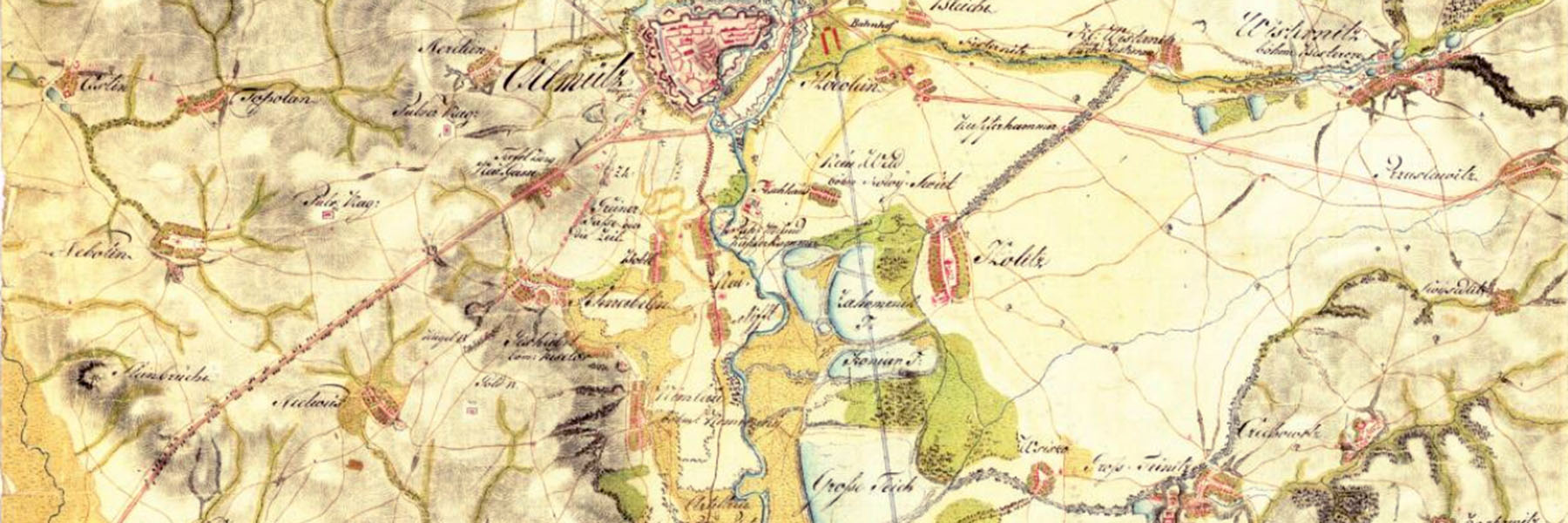
In recent years, research into the forms and functioning of historical landscapes has been largely accenuated in the scientific fields dealing with landscape and its individual elements. It facilitates inspiration for solutions of the current issues in the landscape (drought, agricultural soil erosion, biodevirsity loss etc.), and at the same time, using the knowlede on long-term development, to model scenarios of future development of the landscape and of its use. It is also important to identify segments of landscape requiring special attention with respect to their importance as items of cultural heritage.
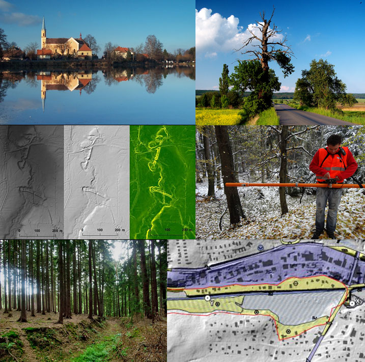
At the department of geography we focus on a long-term basis to the research into elements of historical landscape related to water management, historical path and road networks, or specific forms of land use. We intend to advance the methods of research of historical landscape – focusing namely on historical and old maps or cadastres and the possibilities of their processing using geoinformation systems (so called historical GIS) and also by means of field research, which we complement with methods of remote sensing and geophysical research (georadar, electromagnetic measurements, drones).
Persons involved from the department of geography
Former team members
- Mgr. Peter Mackovčin, Ph.D.
Projects
Current projects
- Historické vodohospodářské objekty, jejich hodnota, funkce a význam pro současnou dobu (Ministerstvo kultury ČR, NAKI – DG18P02OVV019, doba řešení: 2018–2022). Katedra je spoluřešitelem projektu, kontaktní osoba: r.pavelkova@upol.cz
- Cisterscape. Cistercian landscapes connecting Europe/Cisterciácká klášterní krajina ve střední Evropě (Evropská unie – LEADER TNC). Katedra je odborným garantem pro klášter Velehrad, kontaktní osoba: ales.letal@upol.cz
Closed projects
- Zapomenutá historie horských lesů Hrubého Jeseníku – klíč ke kulturní identitě Moravy a Slezska (Ministerstvo kultury ČR – NAKI II, DG18P02OVV061). Katedra je hlavním řešitelem projektu, kontaktní osoba: peter.mackovcin@upol.cz
- Moravské křižovatky (Ministerstvo kultury ČR – NAKI, DG16P02R031, doba řešení: 2016–2019). Katedra se podílela na řešení projektu, kontaktní osoba: ales.letal@upol.cz
- Obnova a výstavba rybníků v lesních porostech jako součást udržitelného hospodaření s vodními zdroji v ČR (Ministerstvo zemědělství ČR – NAZV, QJ1620395, doba řešení: 2016–2018). Katedra byla hlavním řešitelem projektu, kontaktní osoba: r.pavelkova@upol.cz
- Hodnocení území na bývalých rybničních soustavách (vodních plochách) s cílem posílení udržitelného hospodaření s vodními a půdními zdroji v ČR (Ministerstvo zemědělství ČR – NAZV, QJ1220233, doba řešení 2012–2015). Katedra byla hlavním řešitelem projektu, kontaktní osoba: r.pavelkova@upol.cz
Publications
Monographs and popularising texts, web presentations
Pavelková, R., Frajer, J., Netopil, P. a kol. (2014): Historické rybníky České republiky: srovnání současnosti se stavem v 2. polovině 19. století. Praha : Výzkumný ústav vodohospodářský T. G. Masaryka, v.v.i., 167 s.
Rozkošný, M., Pavelková, R., David, V. a kol. (2015): Zaniklé rybníky v České republice – případové studie potenciálního využití území. Praha: Výzkumný ústav vodohospodářský T. G. Masaryka, v.v.i., 155 s.
Borský, J., Hendrych, J., Jech, D., Létal, A., Malá, E., Obdržálek, J., Vorel, I., Žlebčík, J. (2015): Metodika mapování, evidence, dokumentace, péče a ochrany významných alejí Čech a jejich dřevin. Ministerstvo kultury. 185 s.
Martínek, J., Létal, A., Miřijovský, J., Šlézar, P., Vích, D., Kalábek, M. (2014): Poznáváme historické cesty – Discovering historical roads, Centrum Dopravního Výzkumu, Brno, 238 s.
Mapa historických rybníků
https://heis.vuv.cz/data/webmap/isapi.dll?map=mp_historickerybniky&TMPL=AJAX_MAIN&IFRAME=1&LEGEND_HIDE=0&QUERY_SELECTION=1&FULLTEXT_CHECKED=1
Mapa historických cest Čech, Moravy a Slezska
http://naki.vectormap.cz/
Publications on the topic (latest or most important)
Frajer, J., Pavelková, R., Létal, A., Kopp, J. (2020): Relics and transformation of former ponds in the urban environment of the historical region of Bohemia (Czech Republic). Journal of Maps, DOI: 10.1080/17445647.2020.1819900
Frajer, J. (2019): Josefský katastr jako zdroj geografických informací o historické krajině. Geografie, 124(3), s. 315–339. DOI: 10.37040/geografie2019124030315
Létal, A. et al. (2018): New approaches to studies of extinct ponds. in: Svobodová, h. (ed.): Useful geography: Transfer from research to practice. 25th Central European Conference. Brno 12.-13.10.2017, pp. 203-215.
Havlíček, M., Skokanová, H., Dostál, I., Vymazalova, M., Pavelková, R., Petrovič, F. (2018): The consequences of establishing military training areas for land use development-A case study of Libava, Czech Republic. Land use policy,73, pp. 84-94. DOI: 10.1016/j.landusepol.2018.01.039
Frajer, J., Fiedor, D. (2018): Discovering extinct water bodies in the landscape of Central Europe using toponymic GIS. Moravian Geographical Reports, 26(2), pp. 121-134. DOI: 10.2478/mgr-2018-0010
Pavelková, R., Frajer, J., Havlíček M. et al. (2016) Historical ponds of the Czech republic: an example of the interpretation of historic maps. Journal of Maps 12 (1), pp. 551-559. DOI: 10.1080/17445647.2016.1203830
